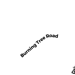
2 BURNING TREE RD
Owner Information
MILES MATTHEW D
2 BURNING TREE RD
FRANKLIN, MA 02038


Property Details
2 BURNING TREE RD is classified as a Single Family Residential (Colonial).
The primary structure on this property was built in 1969. There are 2,288ft2 of built area within this property. There is 2,288ft2 of residential/living space within this property. This property is listed as having 9 rooms.
2 BURNING TREE RD is valued at $473,900. The land is valued at $256,000 and the structures are valued at $216,000. There is an additional valuation of $1,900 on this property.
The most recent deed for 2 BURNING TREE RD is recorded at the local registrar in Book 32198, Page 541. 2 BURNING TREE RD was last sold on Friday, April 25, 2014 for $405,000.
Assessment data from fiscal year 2022.
Flood Data
According to the FEMA National Flood Hazard Layer, this property does not appear to be in a flood zone. It may also be in an area not yet reviewed. Nonetheless, confirm this information prior to taking any action.
To view the flood hazards around this property, create a FEMA "Firmette" Map of the area around 2 BURNING TREE RD.
Broadband Internet Providers
| Provider | Type | Bandwidth (mbps) | |
|---|---|---|---|
| HughesNet | Satellite | 25 | 3 |
| VSAT Systems, LLC. | Satellite | 2 | 1 |
| Viasat Inc | Satellite | 100 | 3 |
| Verizon New England Inc. | Fiber | 940 | 880 |
| Comcast | Cable | 1000 | 35 |
| T-Mobile | Fixed Wireless | 25 | 3 |
| GCI Communication Corp. | Satellite | 0 | 0 |
Broadband service provider data from December 2020.
Adjacent Properties
- 72 COUNTRY CLUB DR
Single Family Residential owned by EVANS GEORGE J - 4 BURNING TREE RD
Single Family Residential owned by YOUNG TRAVIS J - 60 COUNTRY CLUB DR
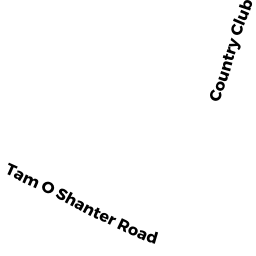
Single Family Residential owned by DANGELO MARK S - 5 TAM O SHANTER RD
Single Family Residential owned by EVANS JOSEPH G - 205 JORDAN RD
Single Family Residential owned by BOHMILLER PAUL W & CAROLYN S TRS